
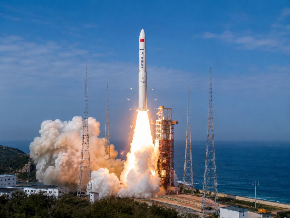
China has achieved a significant milestone in its ocean observation and environmental monitoring efforts with the successful launch of the Haiyang-2E (HY-2E) marine satellite. This latest addition to China’s Haiyang-2 satellite series was launched aboard a Long March 4B rocket from the Jiuquan Satellite Launch Center in northwest China at 7:46 a.m. Beijing time on Thursday. The mission represents the 654th launch for the Long March rocket family, highlighting China’s continued advancements in space technology.
The HY-2E satellite, developed by the China Academy of Space Technology (CAST), joins the existing HY-2C and HY-2D satellites in orbit, replacing the HY-2B satellite that was launched in 2018. This expanded constellation is dedicated to monitoring the marine dynamic environment, providing continuous data that supports marine observation and forecasting services. The HY-2E is equipped with four sophisticated microwave remote sensing instruments, designed to gather detailed information on sea surface conditions, including sea surface height, wave height, wind fields, and sea surface temperature. These capabilities are expected to enhance the accuracy and reliability of ocean-related observations, benefiting climate studies and research into phenomena like El Niño.
Over the past decade, the Haiyang-2 satellite program has been instrumental in disaster prevention, maritime safety, and scientific research. The data gathered by these satellites have been crucial for tracking typhoons, supporting tsunami early warning systems, and improving global numerical weather prediction models. Additionally, their observations aid in marine resource management and bolster national maritime security efforts, underscoring the program’s multifaceted contributions.
Beyond weather and climate applications, the Haiyang-2 satellite series also offers practical advantages for the fishing and shipping industries. By providing ocean current, wind, and wave data, the satellites help identify productive fishing grounds, enabling vessels to operate more efficiently and cost-effectively. Since the launch of HY-2B, these satellites have been equipped with an Automatic Identification System (AIS), which facilitates the continuous tracking of vessel positions, speeds, and identification details. This feature significantly enhances navigation safety across busy sea routes.